 Photos and Updates
Saturday, April 29 2017
9:00am-1:00pm
Volunteer for Park Serve Day
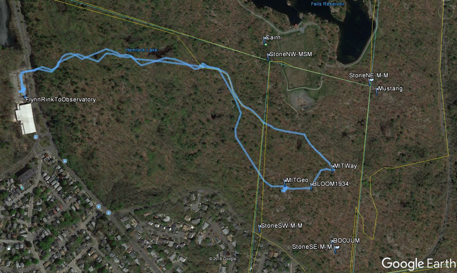
On April 29, 2017, our goal is to help clean up various parts of the Fells, including the Flynn Rink area (in Medford) and trails leading to the MIT Geodetic Observatory (located in Malden).
As announced by The Friends of the Fells:
"The Friends of the Fells, DCR, Digital Trail Guides, and citizens of Malden are co-sponsoring a Park Serve Day event focused on the historic MIT Geodetic Observatory. People are coming together to help clean-up the area, spruce up the historic site, and tidy up the trails. This public day of service is open to all ages and groups are welcome. Please RSVP if your group is larger than four individuals. Meet at Flynn Rink (300 Elm Street, Medford, at corner of Woodland Road) to arrange your work assignment. Please bring water, snacks, sunscreen, and bug spray to suit your needs. Any required tools will be provided. Lightning cancels, otherwise please dress for the weather.."
MIT's Alumni publication ran a story on "MIT’s Mysterious Observatory Rediscovered"
The Friends of the Fells posted a related story at: http://www.friendsofthefells.org/uncovering-the-mit-geodetic-observatory-in-the-middlesex-fells/
There are some rocky, pebbled, and rooted paths which do present trip hazards. In addition, there are some modest ascents. The trail we plan is well traveled and relaxing. There will be activities appropriate for all ages and levels of hiking abilities!

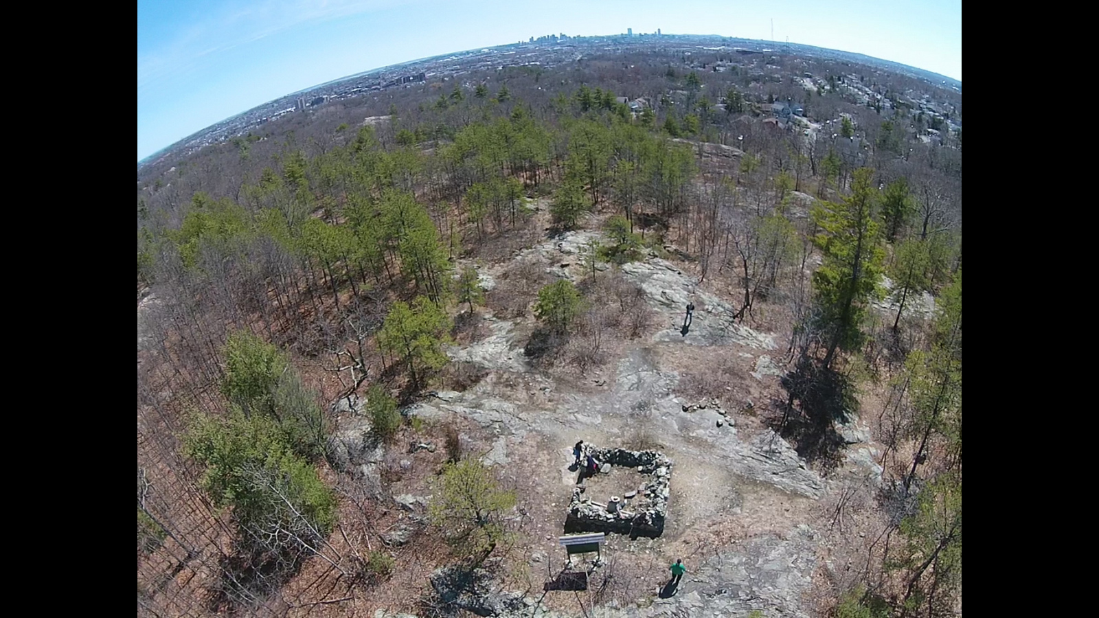
Click above to view a short video of some trails and aerial views on YouTube
The path we plan to take during the clean-up is truly a beautifully scenic, peaceful hike.
The DCR's website has this link describing the day of activities:
http://www.mass.gov/eea/agencies/dcr/get-involved/volunteer-ops/park-serve-day.html
You can learn about the 2016 Park Serve Day at this link http://www.mass.gov/eea/agencies/dcr/pr-2016/dcr-park-serve-day.html
Thanks to friends Bill, Lynn, Lindsay and Kurt for this collaborative travel!
